Wintry conditions are set to simmer down through the day after Toronto got a flurry-filled start Tuesday.
The weather advisory Environment Canada issued warning motorists of reduced visibility from blowing snow and icy, slippery surfaces has now ended.
The weather caused a number of collisions across the city, with crashes on the Don Valley Parkway and Gardiner Expressway snarling traffic.
The daytime high is expected to reach 0 C with a wind chill of -14.
The temperatures are set to rise slightly through the day, holding in the negatives until around 4 p.m., according to the weather service.
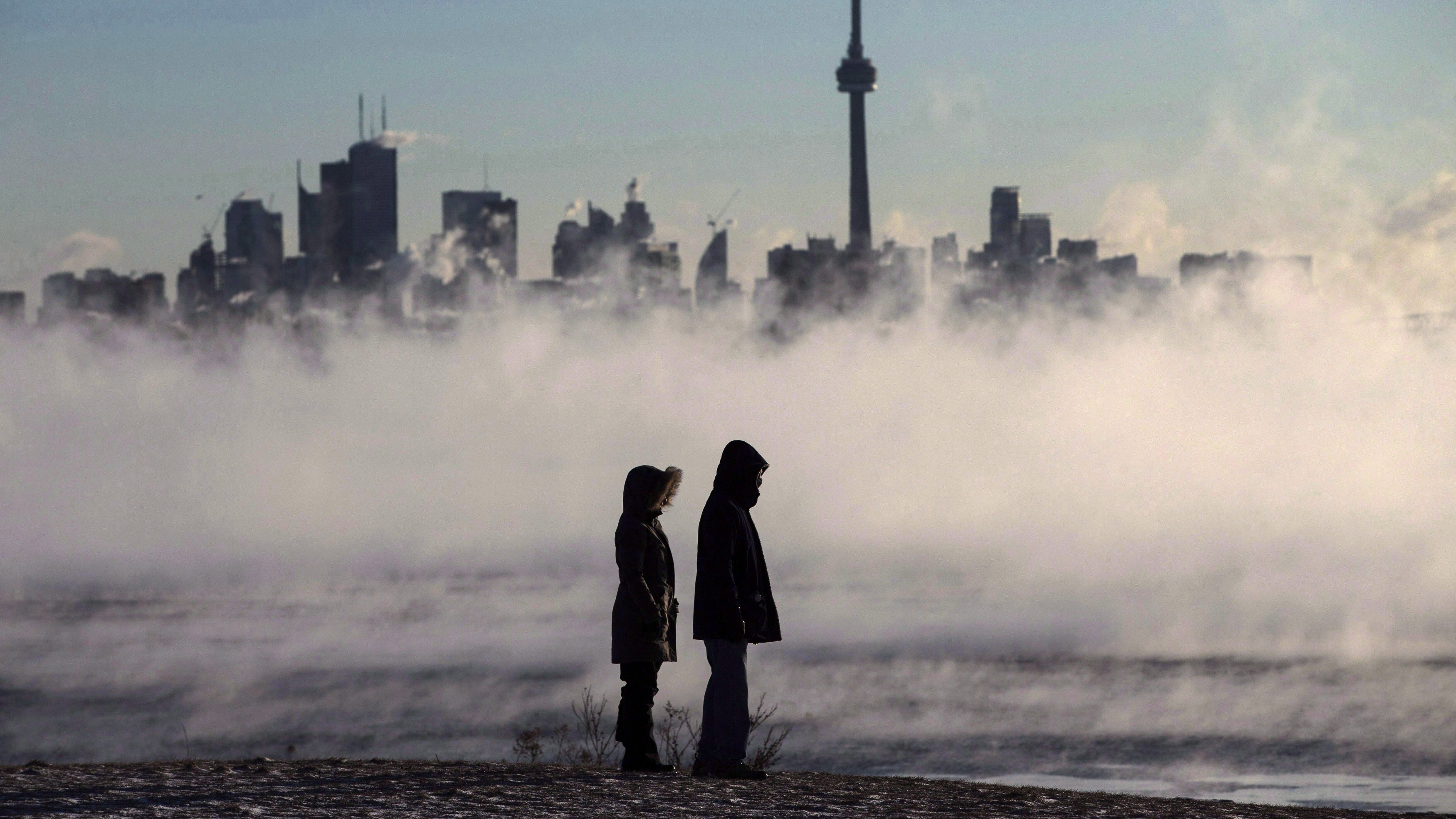
A shot of Arctic air moving across southern Ontario is to blame for one of April’s chilliest days on record.
Northwesterly wind of 40 km/h gusting at 60 km/h is helping drive the Arctic air, the weather agency says.
However, Environment Canada states that temperatures are expected to rise through the week, reaching 9 C this weekend.
Wednesday’s forecast calls for cloudy conditions with a high of 5 C during the day and a low of -2 C at night.
Thursday will see a high of 3 C with a chance of flurries or rain and a low of 2 C at night.
Friday will be cloudy and see a high of 7 C with temperatures dipping to a low of 2 C overnight.
A mix of sun and cloud is in the forecast on Saturday, with a high of 9 C and a low of 1 C at night.
Sunday is also expected to have a mix of sun and cloud with a high of 12 C and a low of 2 C.


